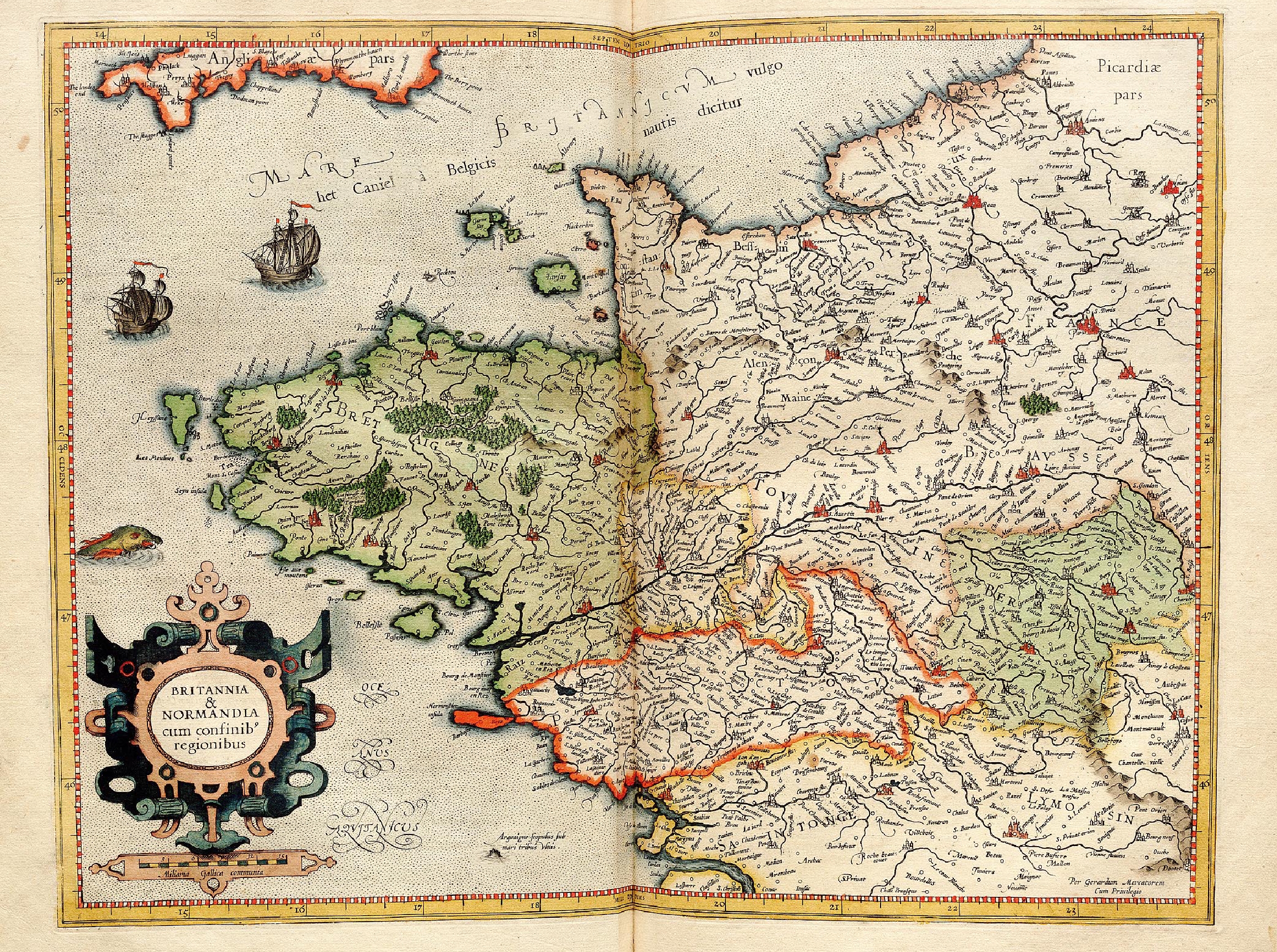
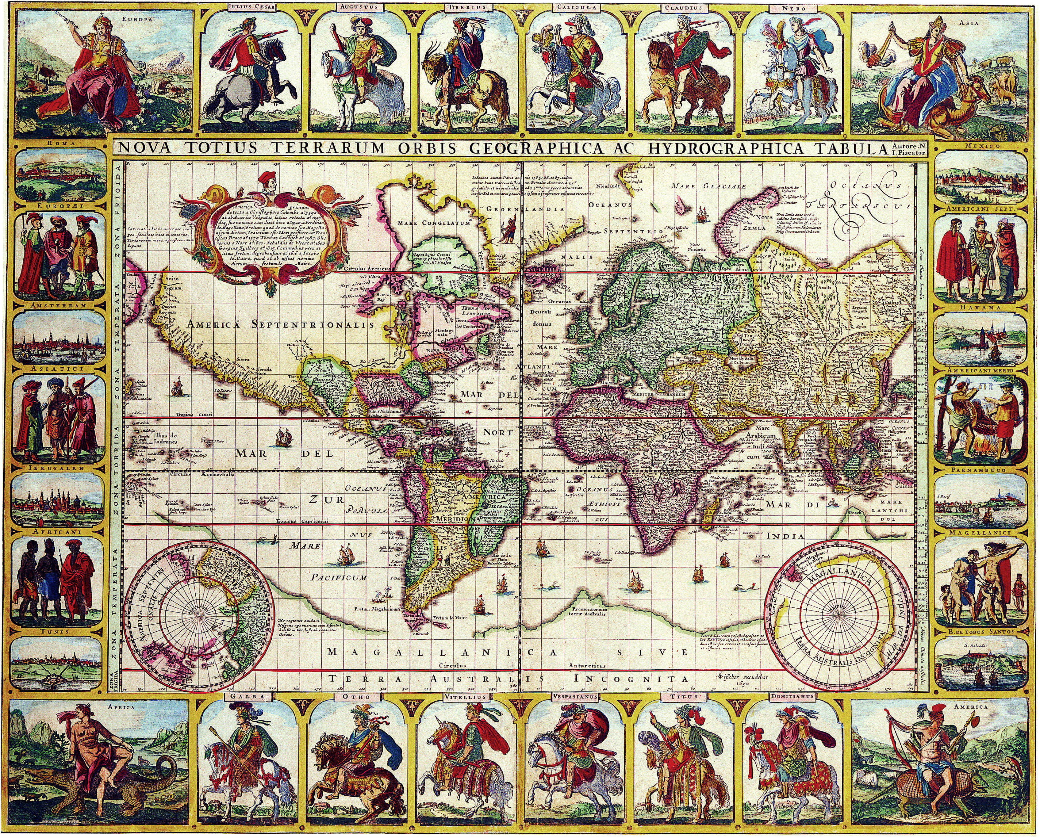
Nova Totius Terrarum Orbis Geographica Ac Hydrographica Tabula Autore N I Piscator . . . 1652
Map Maker: Claes Janszoon Visscher
Place / Date: Amsterdam / 1652
Coloring: Hand Colored
Size: 22.5 x 18 inches
Condition: VG
Description:
Nice example of Claes Janszoon Visscher 's rare Twelve Caesars world map.
CJ Visscher's world maps are among the most spectacular world maps published in the 17th Century.
The present map is one of four world maps with decorative panels issued by Visscher between 1614 and 1652.
In 1639, Visscher prepared this equisite world map on Mercator's projection in the style of Blaeu and Jansson.
This example is the final state of that map from 1652, determned by the date engraved in the lower right image,
next to the small southern hemispheric map.
Embellished with scenes of 12 Roman emperors mounted on horses in full battle gear - thus often called
the "Twelve Caesars Map" - along with representations of the four continents, six costumed figures showing
the mode of dress in each of regions (Europeans, Asiatici, Africani, North Ameicans, South Americans and Magellanici),
and including eight city views (Rome, Amsterdam, Jerusalem, Tunis, Mexico City, Havana, Parnambuco and Bahio Todos Santos).
The cartography is very up to date for the period, showing the discovery of Hudson's Bay and the course
of the St. Lawrence river. The Straits of le Maire and Magellan are shown, with the massive Magellanica Sive Terra
Australis Incognita (unnown Southern lands still prominently appearing). Beach is still shown in the region that would
become Australia, based upon the reports of Marco Polo. The early Dutch discoveries in what would become northern Australia are shown.
Marvelous (although completely fictional) California Coastline appears, heading north toward the Straits of Annian, only a few short miles from NE Asia.
The detail in the map is quite remarkable. The engraver of the map is not known, but Shirley surmises that it was probably Pieter Goos.
A visually stunning example.
Condition Description:
Old Color. A bit age toned and soiled near lower part of centerfold. A few small tears in lower margin repaired on verso.
In general, a very nice example of this rare map, which is frequently trimmed into the map image.